


Land & topographic surveying
Site and terrain information for planning and design. Discuss survey extent, coordinate requirements and the outputs your team needs.
Explore this serviceGCAA · DCAA Licensed · Dubai · Abu Dhabi · UAE
Transforming reality into intelligence. Enterprise drone solutions powered by AI, digital twins and GIS. From GCAA permits to processed 3D models and inspection reports: what we capture, we deliver.
AIN combines ground surveying and reality capture services with its drone surveying capability. Start with the project requirements to scope the right service for design, construction or existing-condition documentation.
Site and terrain information for planning and design. Discuss survey extent, coordinate requirements and the outputs your team needs.
Explore this serviceTranslate agreed design requirements into site layout. Scope the work around project drawings, survey references and required visits.
Explore this serviceCapture existing buildings and structures to support documentation and Scan-to-BIM workflows, with model requirements agreed for the project.
Explore this serviceLiDAR surveying where it suits the required site data. Capture approach and output scope are reviewed before the work is agreed.
Explore this service01 · What We Do
Most drone providers hand you raw footage and walk away. That's not how we work. One team, one contract: no data handoffs to third-party processors, no mystery file formats.
Oil & gas, construction sites, infrastructure and agriculture: RTK/PPK missions flown by our own GCAA-certified pilots.
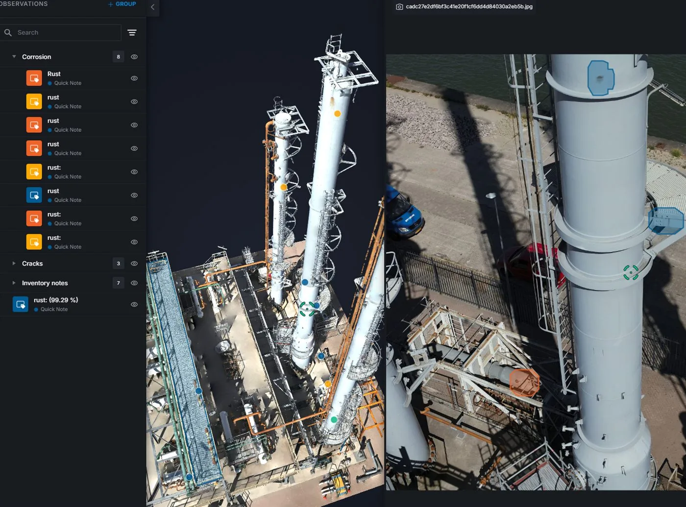
Living replicas of built assets, bridges, utilities and facilities: cloud-hosted, versioned and accessible by your whole team.
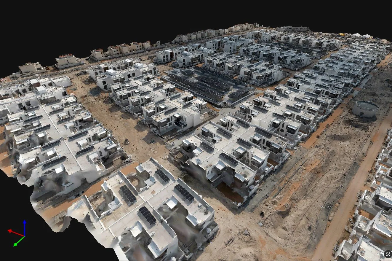
BIM-ready point clouds and mesh models structured for AutoCAD, Revit, Civil 3D, Unreal Engine and GIS platforms.
Engineering and construction compliance records: geo-referenced, time-stamped, audit-defensible.
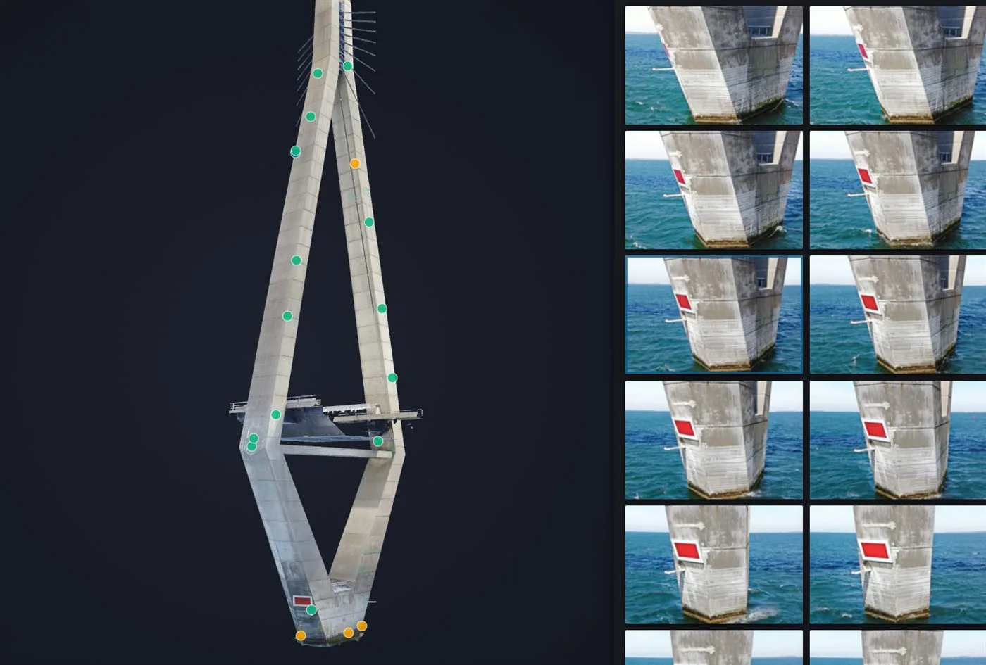
Façades, roofs, bridges, tunnels and towers: without scaffolding, rope access or shutdowns.
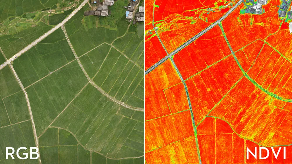
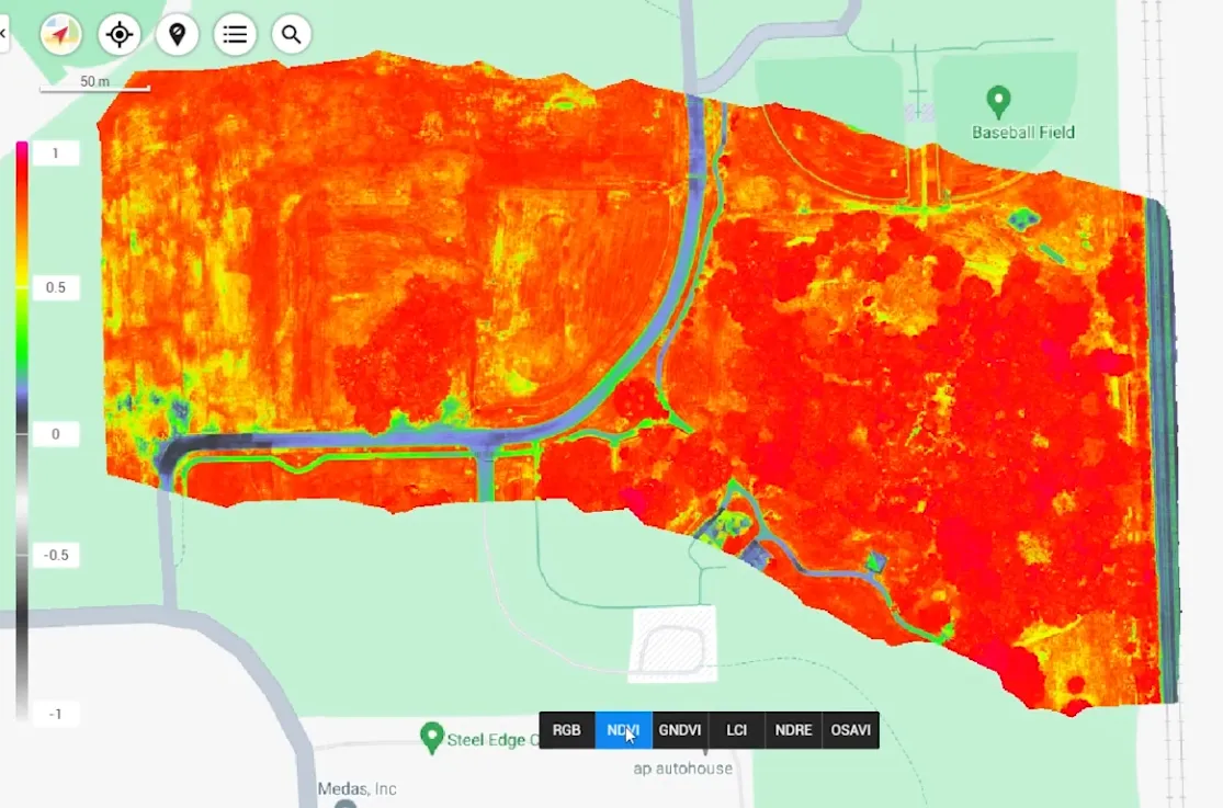
Crop health, NDVI and precision agriculture across the UAE: see plant stress before the human eye can.
02 · Showreel
04 · Why AIN UAE
Manual inspection takes weeks, carries real risk, and ends in a PDF nobody can interrogate. Drone-based capture changes the economics entirely.
05 · Industries
Progress disputes, slow volumetric surveys, as-built records that never match reality on the ground, and site visits that eat programme time.
Weekly progress capture, cut/fill volumetrics, as-built documentation and BIM-ready models: geo-referenced records that hold up in an audit or a warranty dispute.
Shutdown windows, rope-access risk, flare stacks and live assets that can't be touched, yet still need inspection-grade condition records.
Thermal and visual UAV inspection with zero shutdown, AI-assisted defect detection and ISO-aligned data security for regulated oil & gas environments.
Bridges, tunnels and civil assets with defects developing silently between inspection cycles, and paper reports nobody can interrogate.
Structural inspection, deformation monitoring and a defect history you can track over time: risk severity, condition and urgency in one digital record.
Routine building inspections that need scaffolding budgets, façade surveys that take weeks, and roof assessments that put people at height.
Façade crack detection, thermal anomaly mapping and roof condition assessment: delivered to a platform your maintenance team can actually navigate.
Crop stress you can't see until yield is already lost, irrigation guesswork, and hectares too large to walk.
NDVI mapping, crop stress analysis and precision irrigation planning with multispectral sensors: decisions backed by plant-level data.
Photogrammetry models that arrive broken, untextured or in formats that need days of rework before they drop into a pipeline.
High-resolution photogrammetry, clean point clouds and textured meshes structured to drop cleanly into Unreal Engine, BIM and visualisation workflows.
Data sovereignty, compliance and access governance requirements that rule out shared cloud infrastructure.
Private hosting, SSO, role-based access and ISO-aligned security: built for UAE government entities and critical infrastructure operators.
Positioning
Plenty of companies will fly a drone over your asset and send you the footage. That is a capture service. It is not the same as knowing what condition your portfolio is in.
AIN UAE exists to close that gap: detecting issues before they become failures, replacing reactive maintenance with predictive asset management, and turning inspection data into decisions about budget, risk and lifecycle.
The deliverable is not a model. It is a defensible answer to what needs fixing, how urgently, and what it costs to wait.
06 · Process
No data handoffs to third-party processors. We run the entire pipeline in-house, which is why our deliverables drop cleanly into your workflow.
Scoping call: asset type, deliverable formats, accuracy requirements and access constraints.
Flight planning, GCAA/DCAA permits and mission risk assessment handled by us end-to-end.
RTK/PPK drone missions flown by our own certified pilots: visual, thermal, RGB or multispectral.
Photogrammetry, point-cloud registration and model building: all in-house, no mystery formats.
AI-assisted defect detection, thermal anomaly mapping and condition classification with severity ratings.
Consultant-ready reports and a cloud digital twin platform your whole team can access: same day.
07 · Case Studies
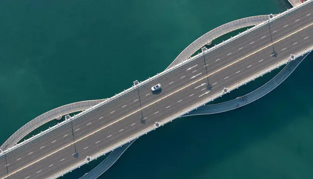
Infrastructure
Full corridor photogrammetry and structural deck modeling: BIM-ready in days.
View study →
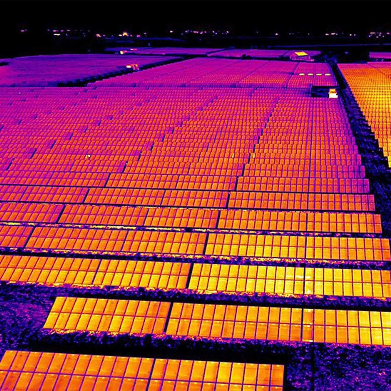
Energy
Radiometric anomaly mapping across live assets: zero shutdown required.
View study →
Agriculture
NDVI crop-stress mapping driving precision irrigation across UAE farmland.
View study →
08 · Questions
The questions asset managers, engineers and project owners ask us before the first flight.
Yes, and that is the main reason UAE asset owners adopt it. Because a drone can re-capture an asset without scaffolding, rope access or a shutdown, inspection becomes cheap enough to repeat on a schedule. Repeated capture produces a deterioration trend, which is what condition-based and predictive maintenance planning requires.
A drone inspection delivers a geo-referenced, time-stamped visual and thermal record of an asset, not just footage. AIN UAE delivers processed 3D models, orthomosaic maps, defect maps with severity ratings, and consultant-ready condition reports in standard formats (LAS, E57, OBJ, RCP, IFC-compatible) that drop directly into Autodesk Revit, Bentley and GIS platforms.
Yes. Commercial UAV operations anywhere in the UAE require GCAA registration, and flights within Dubai airspace additionally require a separate DCAA permit: DCAA does not accept GCAA registration as a substitute. AIN UAE holds both and handles all flight permissions, risk assessments and mission planning as part of every project.
Drone-based capture typically reduces inspection cycles from four to eight weeks down to a matter of days, and removes the need for scaffolding, rope access or asset shutdown. Industry benchmarks report survey cost reductions of roughly 30–60% and substantially faster data collection compared with manual methods.
A 3D model is a single snapshot of an asset at one moment. A digital twin is a maintained, versioned record that is re-captured over time, so defect history, structural change and deformation can be tracked and compared between inspection cycles, which is what makes it defensible in an audit, warranty dispute or insurance claim.
AIN UAE works with construction and contracting firms, engineering consultancies, facilities management teams, CGI and visualisation studios, civil infrastructure owners (bridges, tunnels, utilities), and agricultural operators across the UAE and wider GCC.